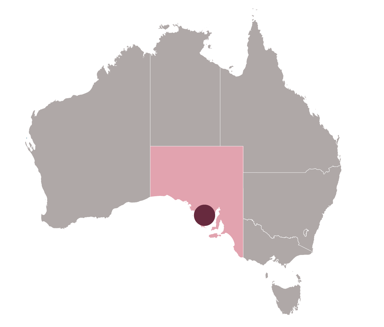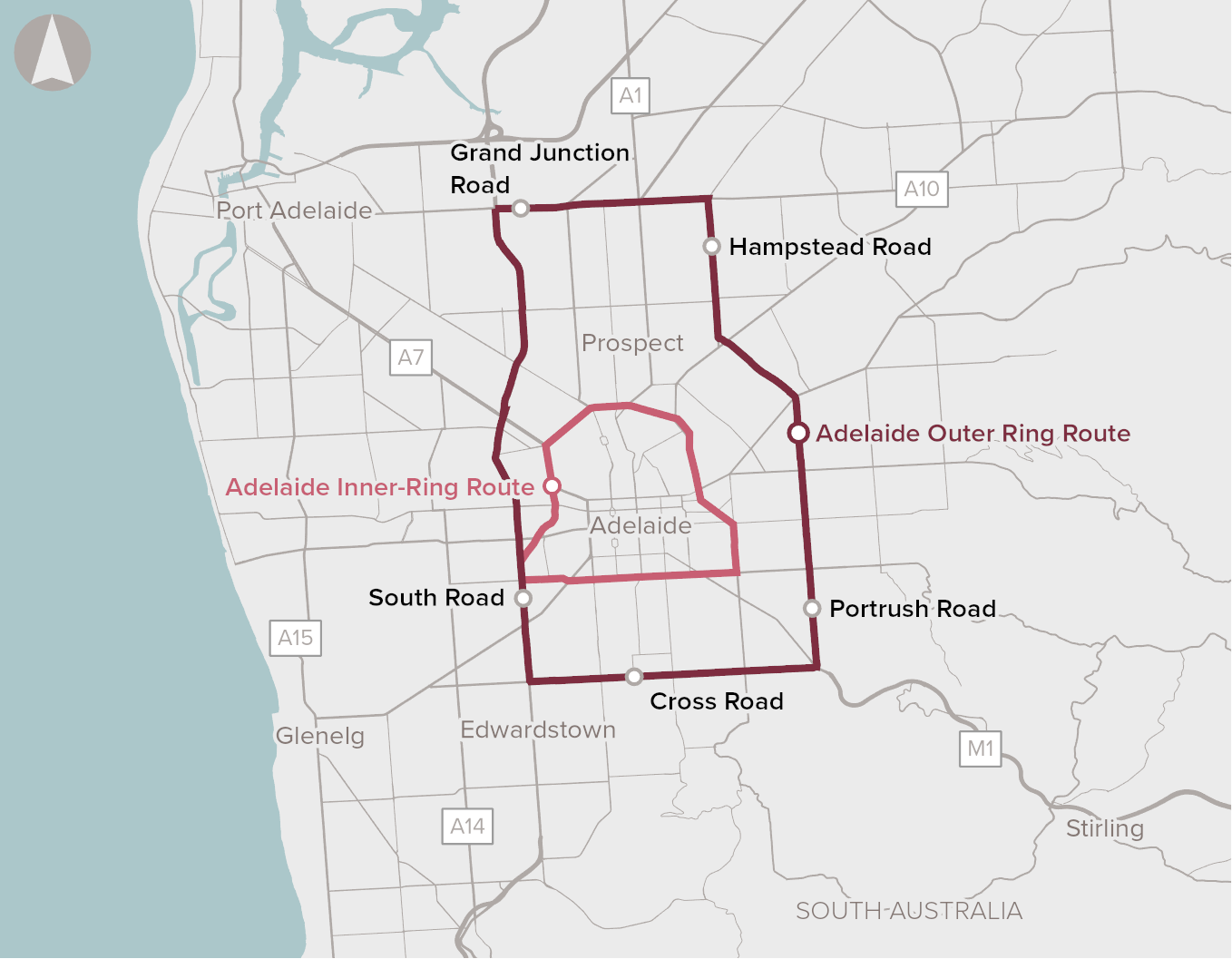

Segments of Adelaide’s Inner and Outer Ring Routes, which provide connectivity around the Adelaide CBD and inner Adelaide, are heavily congested. This is expected to worsen as:
- Adelaide’s population and travel demand continues to rise - by 2040 the local resident population is projected to double.
- rising population densities increase movement conflicts, both directionally and between different modes of travel
- completing Adelaide’s north-south corridor may redistribute traffic and congestion into bottlenecks in the central Adelaide network.
Congestion on both routes results in inefficient and less productive freight movements, reduced performance of the public transport system, longer travel times, and decreased safety.
In 2019, delays on the most congested sections of the Outer Ring Route increased travel times by more than 25%. Cross-city traffic patterns, increasing land use densities and the location of schools create conflicts at several sections along the ring routes, and on arterial roads feeding into the CBD. There are also roads that are constrained by property and heritage considerations.
The 2019 Australian Infrastructure Audit found that urban travel patterns are becoming increasingly complex, driven by economic, social, demographic and technological changes. This creates a risk of growing divergence between the way our networks are planned and designed, and the needs of customers, as is the case for Adelaide’s Inner and Outer ring routes.
This proposal was previously focused on Adelaide’s Outer Ring Route and was expanded in June 2022 to include the Inner Ring Route. This recognises the interrelationship of the roads on the operation of the network and the need for an integrated response to address the identified problem.
Strategic fit
Multiple plans and strategies identify rising transport and land use pressures in Adelaide and identify multi-modal approaches to address these.
Societal impact
Estimates by Infrastructure Australia and the Bureau of Infrastructure and Transport Research Economics (BITRE) place Greater Adelaide’s social costs of congestion at well in excess of a billion dollars a year. Constraints in the Inner Ring Route and central Adelaide network accounts for nationally significant congestion costs annually.
The proposal will mitigate acute modal conflicts between cyclists, pedestrians and vehicles, intersection constraints, and corridor funnelling arising from increased commuter movements, economic activity and densification.
Deliverability
Several options exist to address congestion, including:
- making better use of the existing infrastructure, such as with technology to improve traffic management
- improving or removing intersections
- bus network improvements
Single investments are unlikely to resolve the problem on their own, with an integrated approach to urban mobility required to improve transport access in the city.
Proponent to identify and analyse potential investment options (Stage 2 of Infrastructure Australia’s Assessment Framework).
Considerations in the development of this proposal, include:
- the best approach to staging Inner and Outer ring route upgrades
- impacts of the North-South Corridor (Torrens to Darlington) project
- impacts on the local road network
- demand management
- other modal options, including active and public transport.


 EVALUATION COMPLETE


